Landscape and mapping, Moving image, Bespoke Software Pipeline, Video installation, Godgaze aesthetics, Satellite, Artificial intelligences
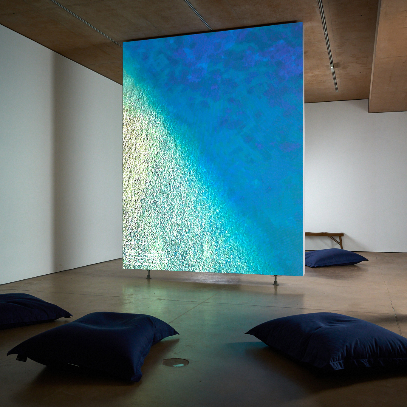
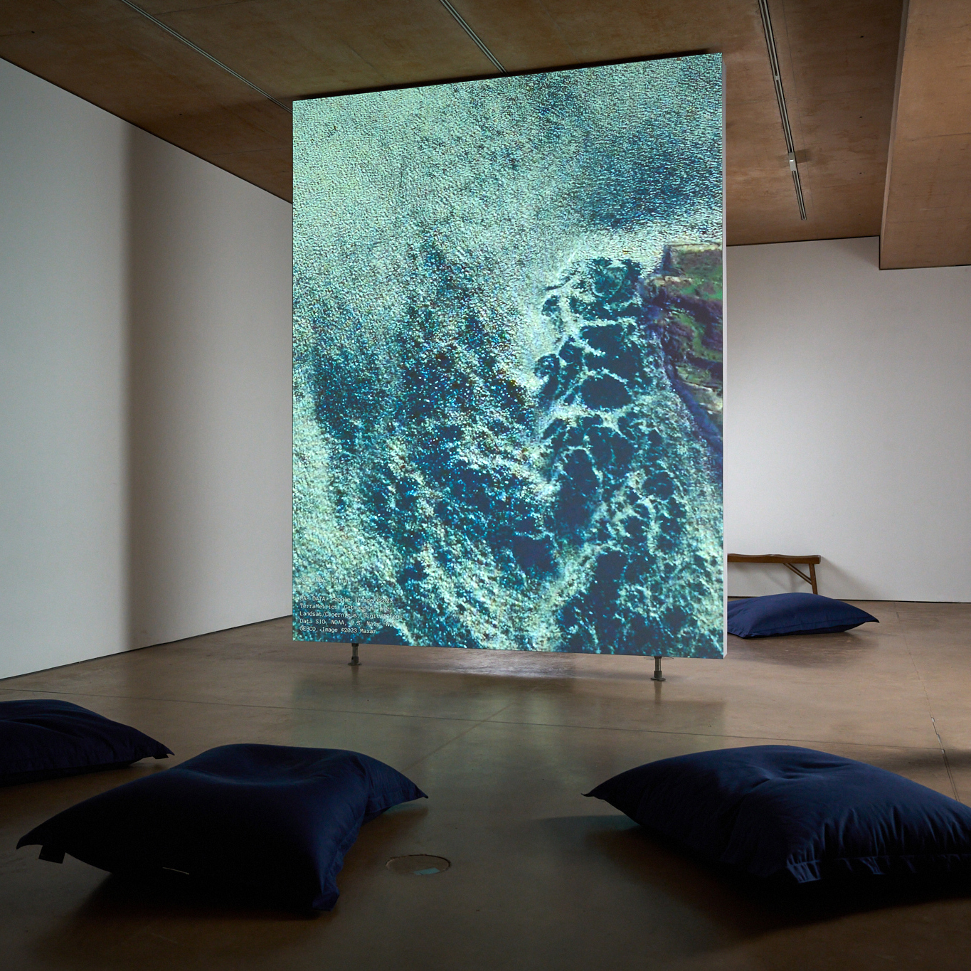
Flying at drone height over glitching waves ‘INSULAE [Of the Island]’ is a simulated ocean journey, a perpetually looping patrol around the British sea borders.
Constructed from disarmingly beautiful imagery generated in Google Earth, this hypnotic installation probes the claims to objectivity of the satellite mapping technologies that mediate our contemporary experience of the world. Equally it poses questions about ownership and digital colonialism: what does it mean for Western companies to own the ‘appearance’ of the whole world? In exposing the manipulation and AI-injected strangeness within these environments, INSULAE reveals a representation of the world as heavily laden with social and political agendas as any depiction of landscape throughout art history.

INSULAE at "VERTIGO", East Quay Watchet 2023. Image credit: Jesse Wild
The raw footage for INSULAE is created using Google Earth - initially developed as a CIA surveillance tool and powered by government and military mapping data. This satellite-generated AI-reconstructed simulation of the world has the quality of almost looking like ‘reality’, but is actually a patchwork of data from different sources and times. Fleeting moments - a small cloud, a boat wake - are distorted and monumentalised. Artefacts and glitches become incorporated into the visual narrative. Time and space become strange as the captured microsecond of the component image is raised up to a new undead afterlife - becoming a navigable landscape where new timelines unfold.
INSULAE at "VERTIGO", East Quay Watchet 2023.
Date: 2019 onwards
Format: single or multi-channel HD vertical video. No sound.
Duration: 5-6 hours

